Context
What You'll Learn:
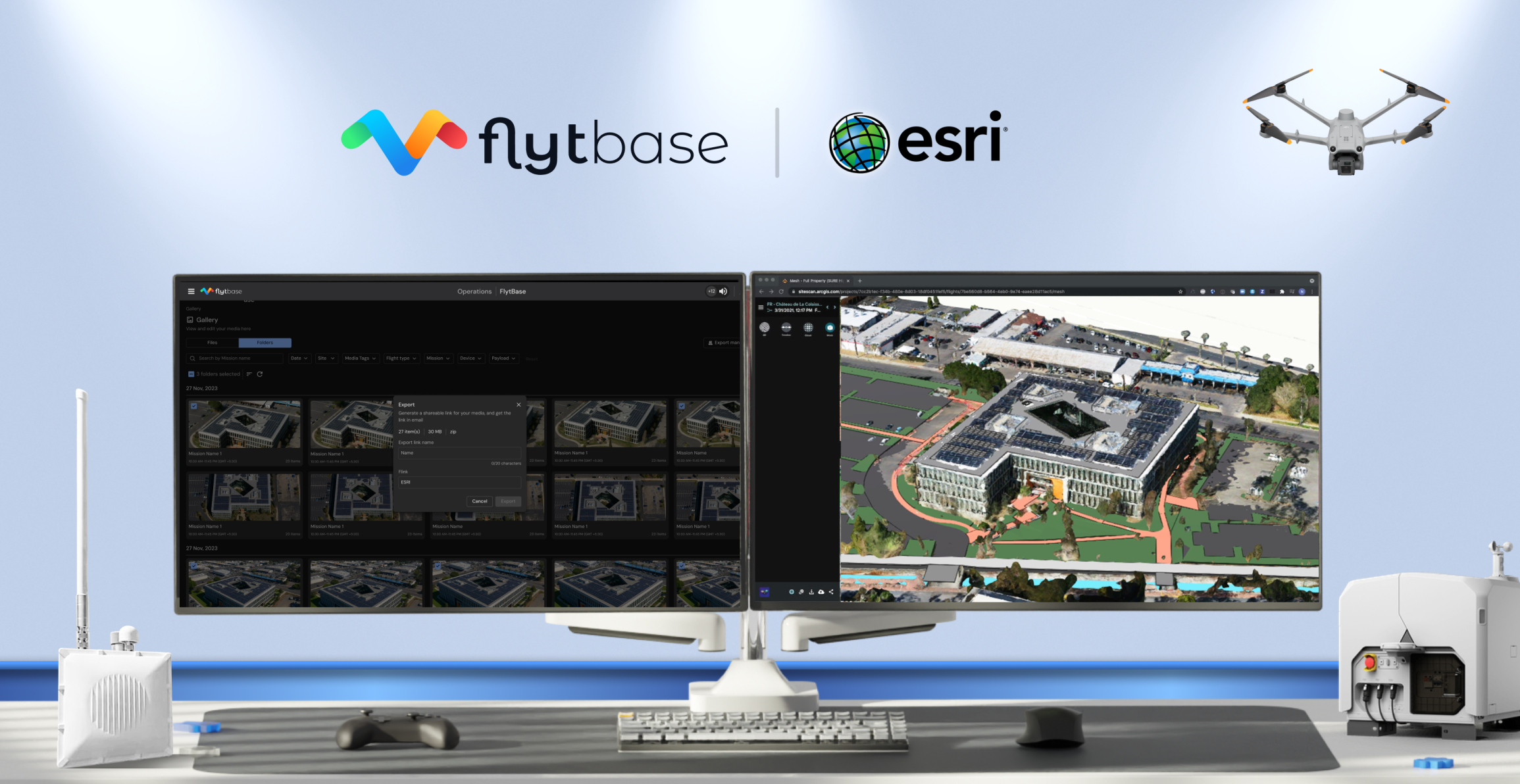
See how organizations use fully autonomous drones to collect and analyze geospatial data at scale. We'll demonstrate applications where docked drones automatically capture aerial imagery and sensor data that flows directly into ESRI's ArcGIS ecosystem for immediate analysis.
Key Topics:
- Automated Data Collection: 24/7 autonomous drone missions without on-site pilots
- Seamless GIS Integration: Live demo of drone data flowing into ESRI's mapping tools
- Industry Applications: Case studies from infrastructure, security, emergency response, and environmental monitoring
- AI-Powered Insights: Real-time anomaly detection with ESRI analytics
- Enterprise Scalability: Managing multi-site deployments and centralizing geospatial intelligence

Jeremiah Johnson
Imagery Solutions Team Lead, ESRI

Achal Negi
Director of Business Development, FlytBase
Context
What You'll Learn:
See how organizations use fully autonomous drones to collect and analyze geospatial data at scale. We'll demonstrate applications where docked drones automatically capture aerial imagery and sensor data that flows directly into ESRI's ArcGIS ecosystem for immediate analysis.
Key Topics:
- Automated Data Collection: 24/7 autonomous drone missions without on-site pilots
- Seamless GIS Integration: Live demo of drone data flowing into ESRI's mapping tools
- Industry Applications: Case studies from infrastructure, security, emergency response, and environmental monitoring
- AI-Powered Insights: Real-time anomaly detection with ESRI analytics
- Enterprise Scalability: Managing multi-site deployments and centralizing geospatial intelligence

Jeremiah Johnson
Imagery Solutions Team Lead, ESRI

Achal Negi
Director of Business Development, FlytBase
Context
What You'll Learn:
See how organizations use fully autonomous drones to collect and analyze geospatial data at scale. We'll demonstrate applications where docked drones automatically capture aerial imagery and sensor data that flows directly into ESRI's ArcGIS ecosystem for immediate analysis.
Key Topics:
- Automated Data Collection: 24/7 autonomous drone missions without on-site pilots
- Seamless GIS Integration: Live demo of drone data flowing into ESRI's mapping tools
- Industry Applications: Case studies from infrastructure, security, emergency response, and environmental monitoring
- AI-Powered Insights: Real-time anomaly detection with ESRI analytics
- Enterprise Scalability: Managing multi-site deployments and centralizing geospatial intelligence

Jeremiah Johnson
Imagery Solutions Team Lead, ESRI

Achal Negi
Director of Business Development, FlytBase
What to expect?
What You'll Learn:
See how organizations use fully autonomous drones to collect and analyze geospatial data at scale. We'll demonstrate applications where docked drones automatically capture aerial imagery and sensor data that flows directly into ESRI's ArcGIS ecosystem for immediate analysis.
Key Topics:
- Automated Data Collection: 24/7 autonomous drone missions without on-site pilots
- Seamless GIS Integration: Live demo of drone data flowing into ESRI's mapping tools
- Industry Applications: Case studies from infrastructure, security, emergency response, and environmental monitoring
- AI-Powered Insights: Real-time anomaly detection with ESRI analytics
- Enterprise Scalability: Managing multi-site deployments and centralizing geospatial intelligence

Jeremiah Johnson
Imagery Solutions Team Lead, ESRI

Achal Negi
Director of Business Development, FlytBase
What to expect?
What You'll Learn:
See how organizations use fully autonomous drones to collect and analyze geospatial data at scale. We'll demonstrate applications where docked drones automatically capture aerial imagery and sensor data that flows directly into ESRI's ArcGIS ecosystem for immediate analysis.
Key Topics:
- Automated Data Collection: 24/7 autonomous drone missions without on-site pilots
- Seamless GIS Integration: Live demo of drone data flowing into ESRI's mapping tools
- Industry Applications: Case studies from infrastructure, security, emergency response, and environmental monitoring
- AI-Powered Insights: Real-time anomaly detection with ESRI analytics
- Enterprise Scalability: Managing multi-site deployments and centralizing geospatial intelligence

Jeremiah Johnson
Imagery Solutions Team Lead, ESRI

Achal Negi
Director of Business Development, FlytBase
Context
What You'll Learn:
See how organizations use fully autonomous drones to collect and analyze geospatial data at scale. We'll demonstrate applications where docked drones automatically capture aerial imagery and sensor data that flows directly into ESRI's ArcGIS ecosystem for immediate analysis.
Key Topics:
- Automated Data Collection: 24/7 autonomous drone missions without on-site pilots
- Seamless GIS Integration: Live demo of drone data flowing into ESRI's mapping tools
- Industry Applications: Case studies from infrastructure, security, emergency response, and environmental monitoring
- AI-Powered Insights: Real-time anomaly detection with ESRI analytics
- Enterprise Scalability: Managing multi-site deployments and centralizing geospatial intelligence

Jeremiah Johnson
Imagery Solutions Team Lead, ESRI

Achal Negi
Director of Business Development, FlytBase


