.avif)


Get Your Free Drone Autonomy Guide Today!

FlytBase, a global leader in drone autonomy software, has announced a strategic partnership with Esri, the global leader in geographic information system (GIS) technology. This collaboration seamlessly integrates FlytBase's autonomous drone platform with Esri's Site Scan for ArcGIS, as well as the ArcGIS ecosystem, creating a reliable pipeline of current aerial imagery that flows directly into GIS workflows.
Automated Aerial Data Collection Meets Real-Time GIS Intelligence
Organizations require real-time, consistent aerial data to power their mapping and analysis workflows. Traditional data collection methods, such as manual drone flights or contracted surveys, often create delays between site changes and map updates, leaving teams to work with outdated information when making critical decisions.
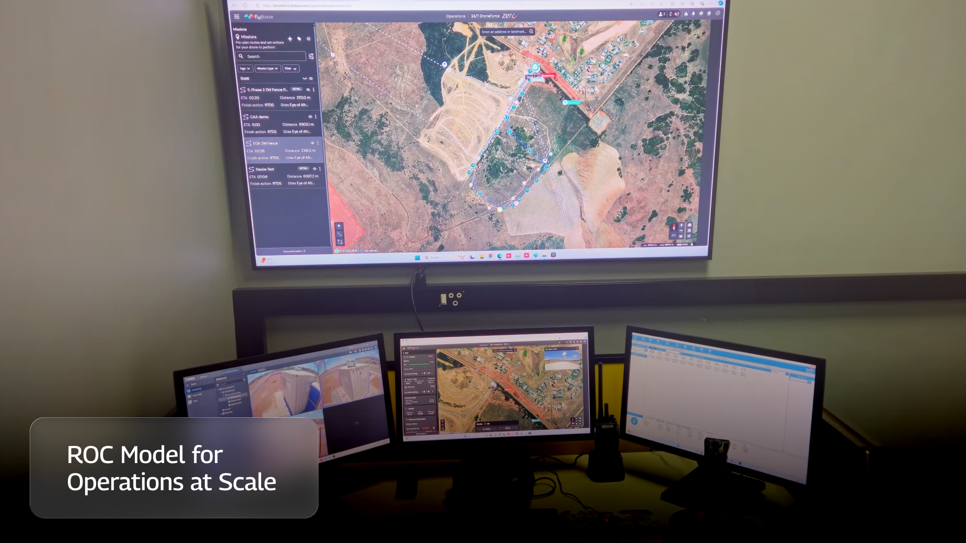
FlytBase brings true automation to aerial data collection with autonomous drone solutions that integrate seamlessly with the ArcGIS ecosystem. These intelligent systems handle everything from flight planning to data capture without human intervention, creating a reliable pipeline of current aerial imagery flowing directly into Site Scan and ArcGIS workflows.
The integration enables automated site documentation through scheduled autonomous drone flights that regularly capture, process, and document site conditions to create accurate digital records with precise measurements and analysis. Users benefit from automated change detection and progress monitoring, which automatically identify and measure changes between missions, enabling construction verification, infrastructure inspection, and environmental monitoring without manual analysis.
"Esri is proud to be partnering with FlytBase as part of the Esri Startup Program," said Jeremiah Johnson, Esri solution engineer. "FlytBase provides a pivotal capability to bridge the gap between drone automation and the ArcGIS system."
FlytBase's enterprise-grade platform ensures data security and compliance with SOC 2, ISO 27001, and GDPR standards, while offering flexible deployment options, including on-premise solutions. The platform's Flinks integration capabilities seamlessly connect third-party apps, devices, and modules for efficient drone operations, while the AI-R aerial intelligence module ensures enterprise security compliance with real-time object detection and cost-efficient video streaming.
"We've eliminated the biggest bottleneck in drone operations - the gap between data collection and actionable insights. Our customers can now deploy a drone dock, schedule automated flights, and wake up to digital twins in Site Scan without touching a single button. This isn't just an integration - it's a fundamental shift from manual drone operations to true autonomous intelligence," said Nitin Gupta, CEO & Founder of FlytBase.
FAQs
Find quick answers to common questions about compatibility, setup, features, and pricing
.webp)
.svg)
.webp)

.png)
