


Get Your Free Drone Autonomy Guide Today!
Extreme weather events are reshaping how industries monitor and manage outdoor operations. From wildfire-prone forests to temperature-sensitive industrial sites, climate volatility is now a direct operational risk. The problem isn't the lack of data—it's the lack of continuous, reliable visibility.
Autonomous drones are becoming the first layer of climate resilience—bridging the gap between unpredictable conditions and real-time decision-making.
Climate Volatility Is an Operational Blind Spot
Industries like forestry, energy, and environmental management are increasingly exposed to heatwaves, storms, and floods that disrupt operations and endanger workers. The challenge lies in time and terrain—most assets sit in remote or hazardous regions where manual inspection isn't feasible during extreme conditions.
Traditional monitoring methods struggle because they rely on:
- Static sensors that can't cover wide or changing terrain
- Satellite data that lacks the frequency and resolution needed for fast action
- Human patrols that are unsafe during high-risk conditions
Autonomous drone operations close that gap—providing safe, automated eyes in the sky when the environment becomes unpredictable.
How Autonomous Drones Enable Continuous Climate Intelligence
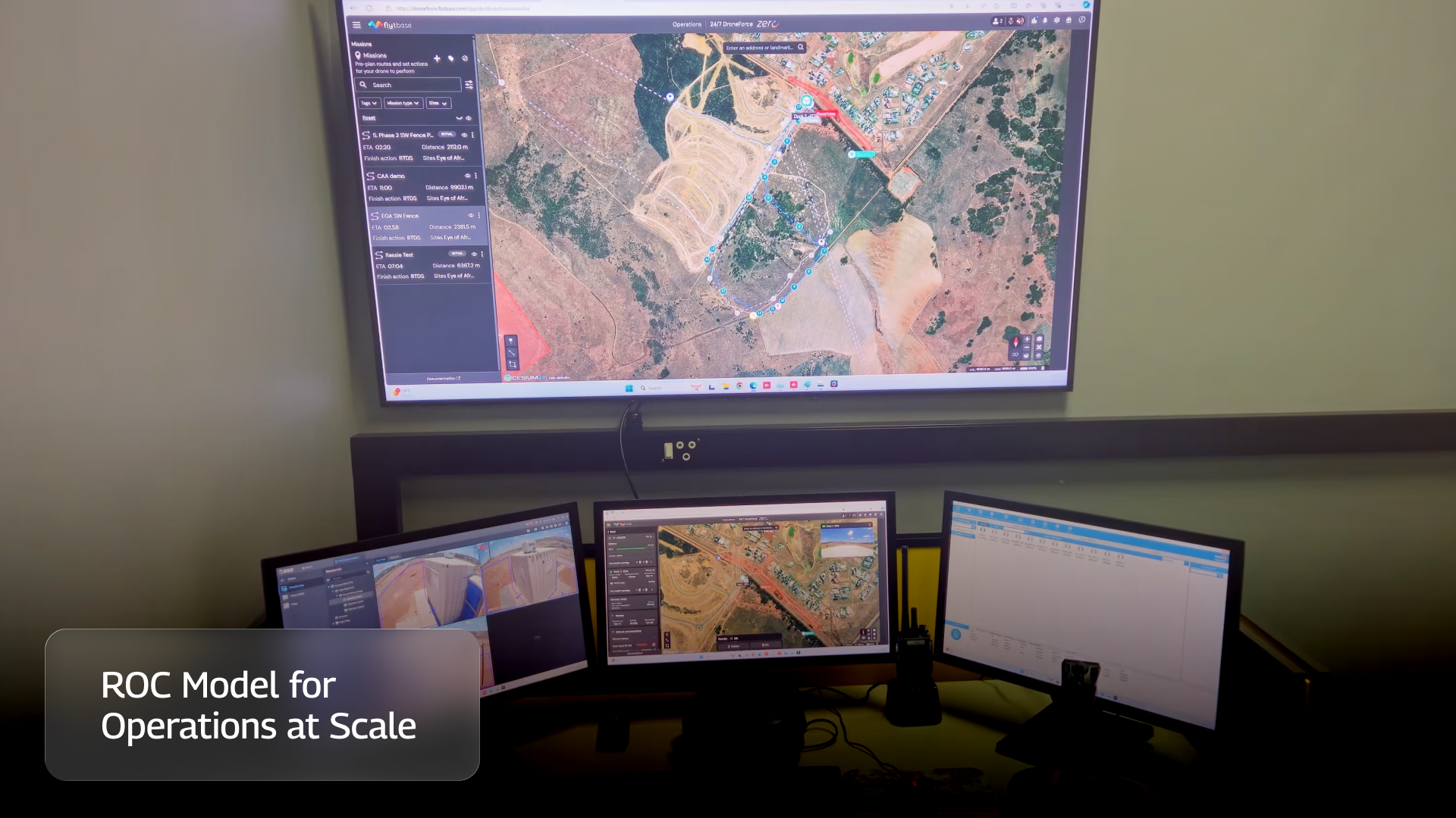
With platforms like FlytBase, organizations can automate aerial monitoring through scheduled or triggered missions—no pilots, no manual launch, no delays.
Here's how it works:
- Automated scheduling and response: Drones launch from docks based on pre-set missions or environmental triggers.
- Thermal and optical monitoring: Flights capture imagery that helps detect temperature anomalies and surface changes.
- Edge processing: On-site AI modules analyze data locally, allowing faster identification of risks such as rising temperatures or smoke detection.
- System integration: Drone feeds connect with existing control centers, enabling immediate alerts and coordination.
The result is an always-on environmental monitoring capability that complements existing sensors and ground operations.
Real-World Proof: Environmental and Forestry Monitoring in Action
Sensorem (Australia) deployed autonomous drones using FlytBase to automate environmental monitoring across remote industrial and agricultural sites. These drones conduct routine patrols and respond automatically to conditions on the ground, reducing the need for manual inspection and improving safety for field teams.
Similarly, Slovakia's Military Forests adopted FlytBase-powered autonomous drones to detect wildfires across large forested areas. These systems execute Beyond Visual Line of Sight (BVLOS) patrols and provide early visual intelligence to control rooms, giving responders valuable time to act.
Both cases show how automated aerial monitoring can strengthen climate resilience by ensuring visibility when it's needed most.
Key Insights
- Climate volatility is now a measurable operational threat, not just an environmental concern.
- Autonomous drones extend situational awareness where static sensors or human patrols cannot.
- On-site data analysis through edge systems shortens response time from minutes to seconds.
- Verified use cases in forestry and environmental monitoring demonstrate safer, more consistent visibility.
- Integration with enterprise systems ensures that drone insights turn directly into preventive action.
From Monitoring to Mitigation
As climate events grow more frequent, industries must move from reacting to anticipating. Autonomous drone systems make that shift possible—by delivering continuous, accurate, and safe visibility at scale.
FlytBase enables this transformation through a unified autonomy platform that supports environmental monitoring, security, and inspection—all from one command center. When deployed across forestry or industrial sites, it turns aerial data into early warning intelligence.
To explore how autonomy bridges the next major gap in enterprise operations, read the next article in this series: The AI-Readiness Gap in Drone Operations.
FAQs
Find quick answers to common questions about compatibility, setup, features, and pricing
Autonomous drones perform scheduled and trigger-based missions to collect environmental data, detect temperature anomalies, and provide visual insights during extreme weather conditions.
Unlike static sensors, drones provide dynamic, wide-area visibility and can safely operate in hazardous or remote environments, even when manual patrols are impossible.
Yes, with automated scheduling and integrated weather checks, drones can be configured to launch during safe conditions and resume flights immediately after events pass.
Forestry, utilities, agriculture, and industrial infrastructure sectors use autonomous drones for wildfire detection, environmental surveillance, and operational safety.
.webp)
.svg)
.webp)

.png)
